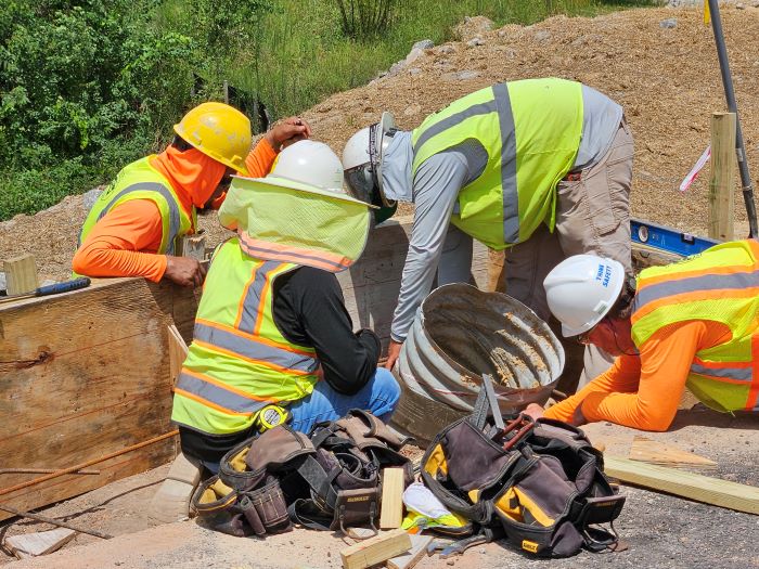
The construction of a three-mile-long bypass is a complicated project and Hancock County's project building a new SR 15 bypass is no exception. Contractors have completed more than 80% of their tasks, and to date they have installed and repositioned utility lines, graded roadway, produced drainage structures, paved most of the new lanes with asphalt and built an overpass with an off-ramp. Because most area residents can only see the work on the bypass where it connects to SR 15 and the new SR 16 overpass, you may be wondering how the rest of the majority of the site is coming along. In this blog post, we're happy to share some new photos that show how much progress has been made.
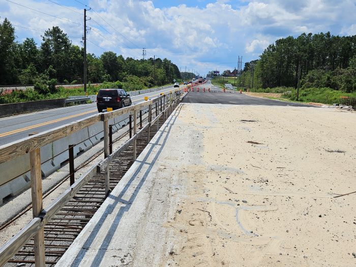
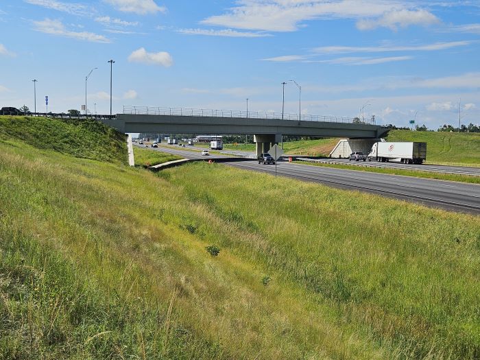
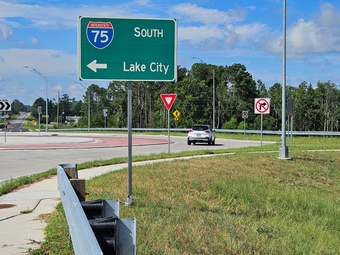
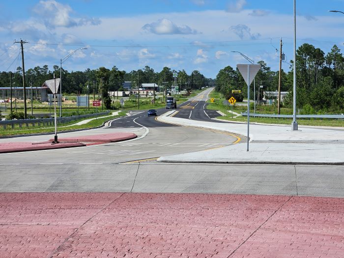
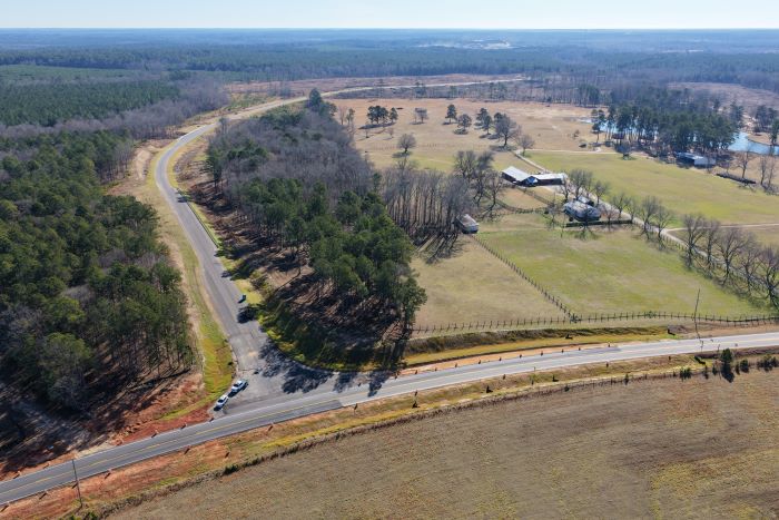
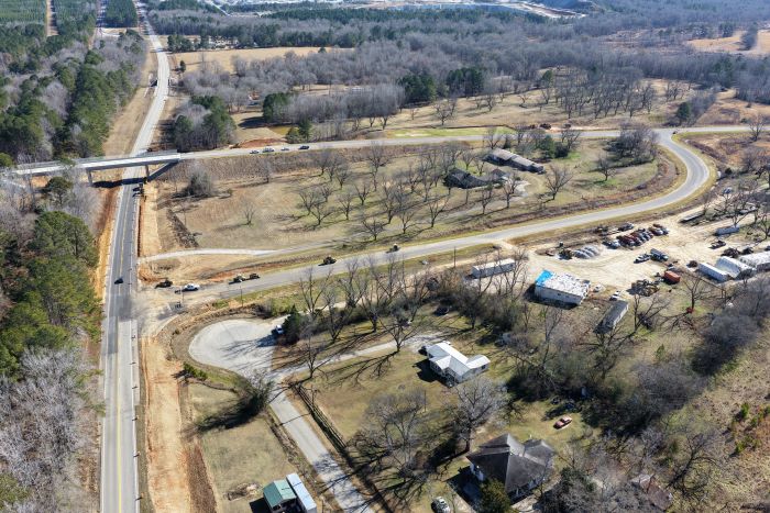
At the point where the new bypass connects to SR 15 on its north end, near Hancock Central Middle School and M. E. Lewis Sr. Elementary School, you can see that about a mile of the new lanes here have been asphalt-paved as they curve to the southeast. As the roadway approaches the new SR 16 overpass, the lanes are graded and paving activity will increase through coming months.
At the point where the new bypass connects to SR 15 on its north end, near Hancock Central Middle School and M. E. Lewis Sr. Elementary School, you can see that about a mile of the new lanes here have been asphalt-paved as they curve to the southeast. As the roadway approaches the new SR 16 overpass, the lanes are graded and paving activity will increase through coming months.
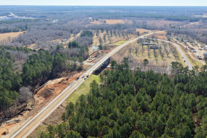
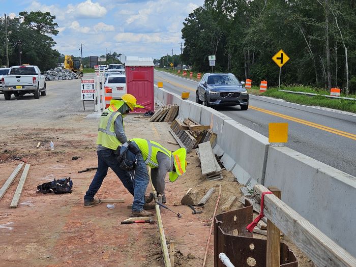
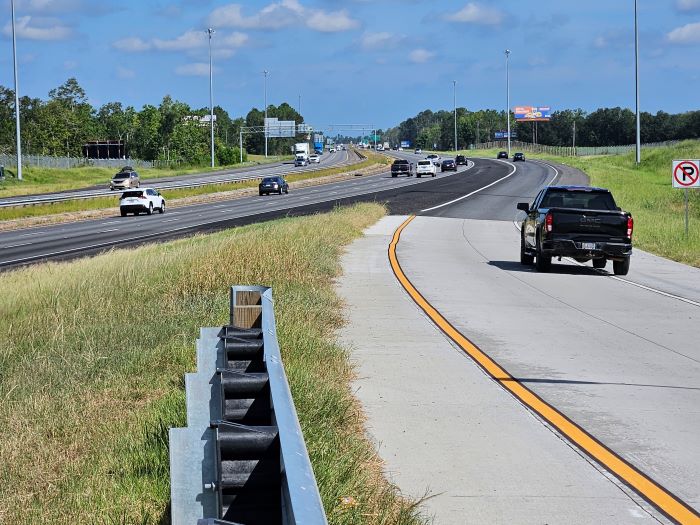
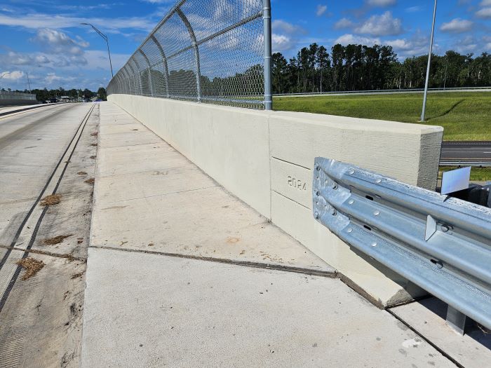
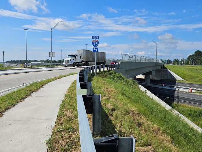
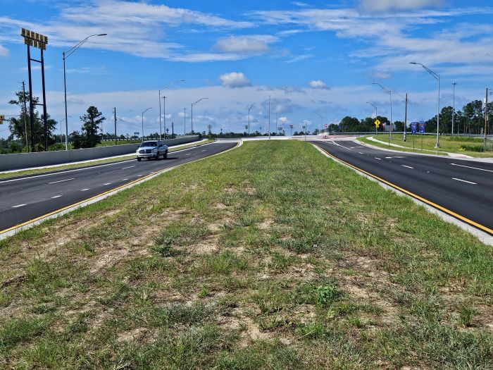
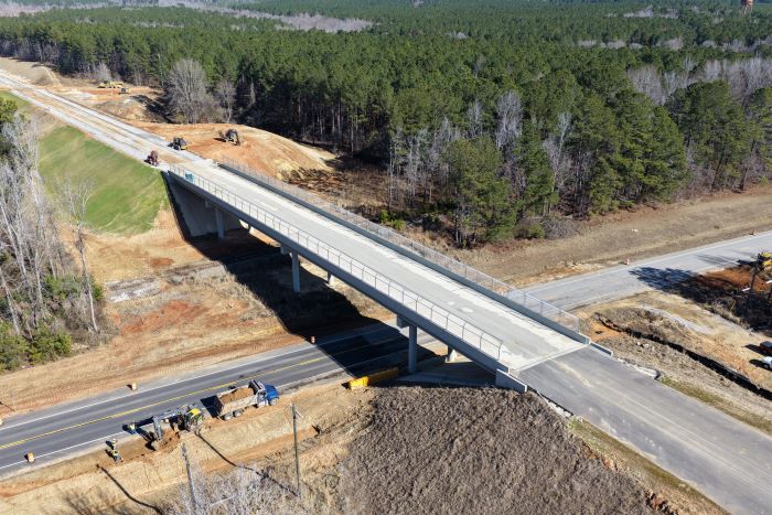
A view of the SR 16 bridge shows safety features like fencing on the guardrail. Next to the future off-ramp, you can also see a crew prepping this section of SR 16 to be widened. In the future, any local or commercial vehicles that need to exit the bypass at the halfway point will do so here.
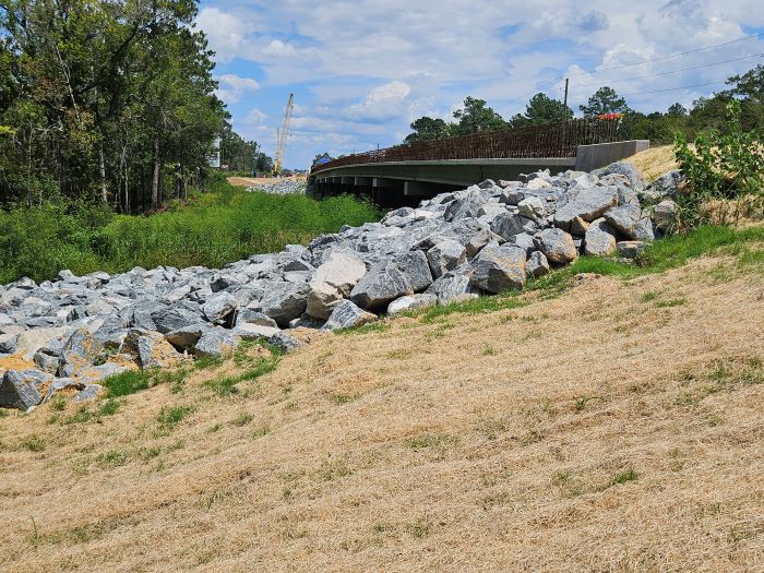
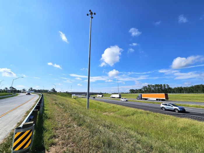
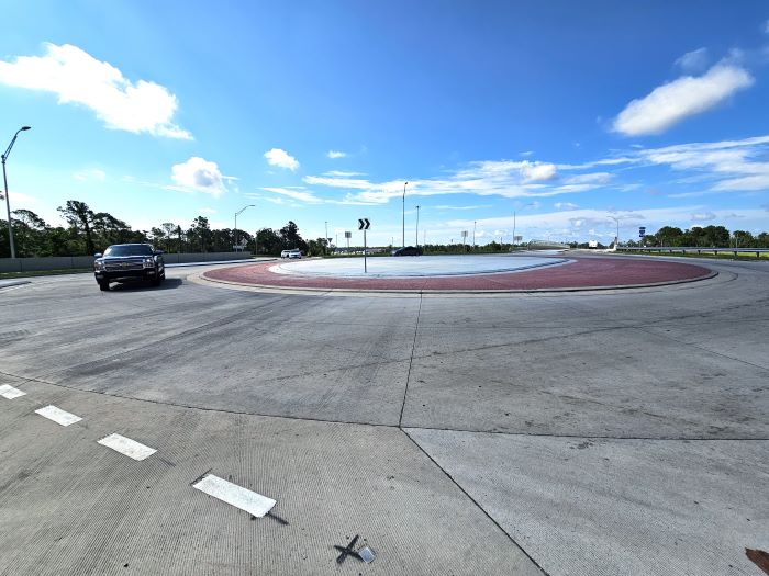
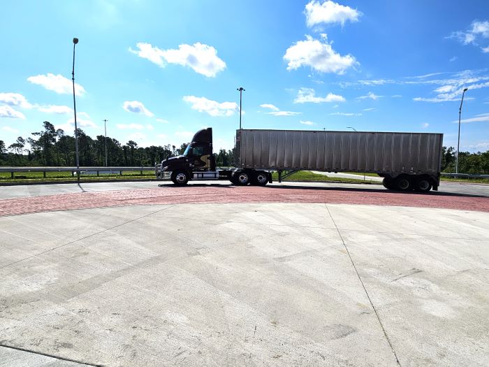
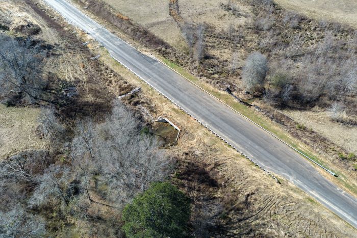
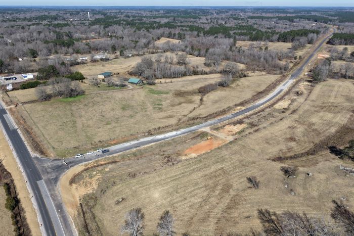
In between the SR 16 overpass and the bypass's south end, we drop down a bit to see some of the many drainage structures that have been installed along the roadway. In times of heavy rain and storms, this culvert and these piles of riprap stones will channel roadway runoff and prevent erosion and other environmental damage. At the bypass's southern intersection with SR 15, near Cody Johnson Road, the new lanes show how the bypass will divert large commercial trucks and other non-local traffic away from the city center.
Contractors will be busy through the spring months, with activities focused on completing the asphalt paving, striping the new lanes and widening the section of SR 16 near the overpass. Weather permitting, they estimate that this phase of the SR 15/East Sparta Bypass could be opened to traffic in May. When the roadway is opened, no doubt local residents will join the commercial trucks in taking a trip through the bypass, getting a good look at the new infrastructure that will improve safety and driving times by reducing the numbers of large vehicles on Sparta's city streets.